

WoodsChick
Well-known member
- Joined
- Jan 25, 2005
- Location
- Oakland
- Moto(s)
- GasGas EP280, CR125, Husky WR165, 2 SM610's, FE250, 2 TR650's, FZR400/600, GSXR750, KTM 450EXC
- BARF perks
- AMA #: 489282
The Dusy Ershim Trail, Part I
--------------------------------------------------------------------------------
Several years ago I was shopping for a forest map and happened to see one for the Sierra NF. I figured I'd get it, even though I didn't need it, since it was one of the very few NF maps I didn't already have. I took the map home and while perusing it, something jumped out at me. It looked to be a 30-mile OHV trail wedged in between the Dinkey Lakes Wilderness and the John Muir Wilderness. I could only imagine what it looked like, and I marveled that it was there at all, what with all the wilderness in the area. I did a bit of research and found this :
http://www.californiajeeper.com/dusy_ershim/review.htm
I'd thought about this trail for a few years, but it always took a back seat to other rides as it was "only" a Jeep trail, not single-track which is what we prefer to ride. Well, I finally got the opportunity to ride it a few weeks ago.
We had no idea how long it would take us. Cevquit tried it a few weeks prior and he made all of 17 miles in 7 hours! This kinda freaked me out, because he is a very good rider. I mean, if he couldn't make it, what in hell made me think I could do it?? But I took comfort in the fact that he tried it on an LC4 and was trying to ride up Thompson Hill! He's a madman! We knew it took 2-3 days in a Jeep, but figured we'd finish it before nightfall. I mean, it's a Jeep trail...how tough can it be...right? The thing about the Dusy Ershim is there are no bail-outs, and no alternative routes should you get hurt or get tired of the endless rocks. You can either turn around and go out the way you came, or you can suck it up and ride it to the end. And you can forget about being towed out, too. If your bike breaks, you either walk out to get parts (ask Cevquit's friend) or you try to wedge it into the back of some friendly guy's Jeep and hope it doesn't get even more damaged bouncing around back there. It's not the gnarliest trail I've ever ridden, that's for sure, but it almost ranks right up there with 5 Miles of Hell in Utah when it comes to getting a disabled vehicle out should you break down in the middle of it.
The night before our ride, Eric and I rode the pavement to the southern end of the trail where we would finish our ride. We left his WR426 locked to a tree, sans rear wheel axle, and rode my KTM450 2-up back to our campsite. This way, after the ride, he could hop on the 426 and ride back to camp to get the truck and come get us.

We got up at 6am and got to the trailhead at White Bark V ista up on Kaiser Pass about 7:15am...

The cast of characters: Eric, me, and our two very good friends from WA, Scott and his dad Tim

Key time was 8am sharp...

The trail starts out at about 9600', climbs to slightly over 10000' then stays between 9000' and 10000' for most of the trail before it drops (and I do mean drops) to 8400'.

After what seemed like only 100 yards past the official gate to the trail, we came upon this...


I didn't fall (that didn't actually happen until 3.45 miles into the trail ) but I bobbled and had to go up it starting from a dead stop in the middle. My trials tire made short work of those rocks, though. While gasping for oxygen when I got to the top, I thought to myself "crap...it's...going to be...a...long day..."
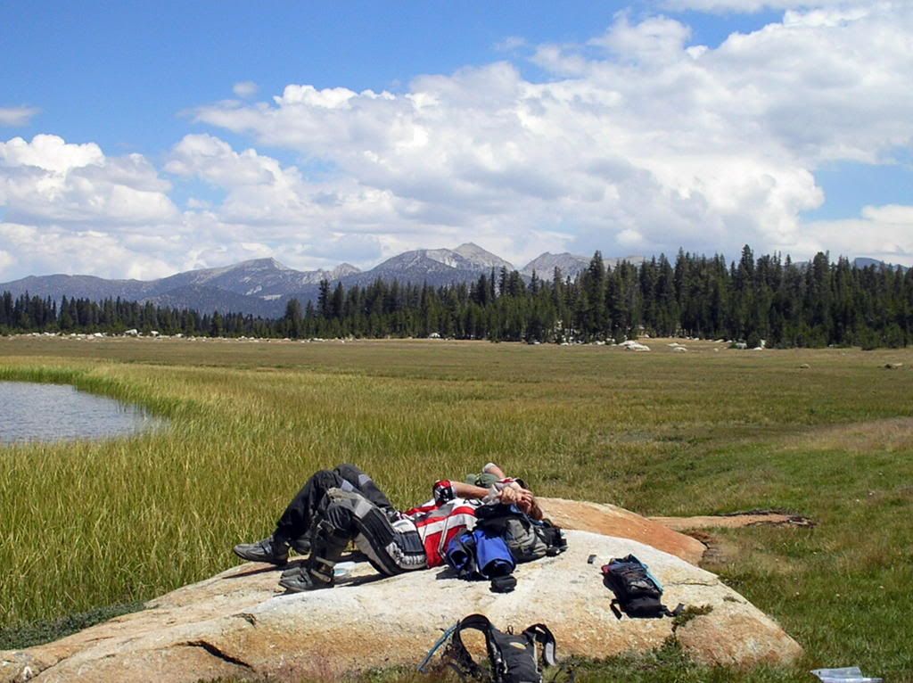
The trail turned out to be everything I had hoped it would be. There were stretches of really easy 2-track that were incredibly scenic...

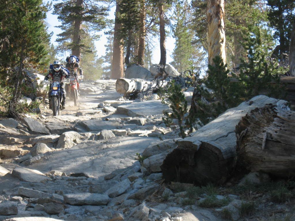
There were rocky sections that stretched on for what felt like forever...

More to come
(with the amount of photos one can include on a BARF post, this might be more than 3 parts...either that or a mere shell of the original report...)
Woodschick
--------------------------------------------------------------------------------
Several years ago I was shopping for a forest map and happened to see one for the Sierra NF. I figured I'd get it, even though I didn't need it, since it was one of the very few NF maps I didn't already have. I took the map home and while perusing it, something jumped out at me. It looked to be a 30-mile OHV trail wedged in between the Dinkey Lakes Wilderness and the John Muir Wilderness. I could only imagine what it looked like, and I marveled that it was there at all, what with all the wilderness in the area. I did a bit of research and found this :
http://www.californiajeeper.com/dusy_ershim/review.htm
I'd thought about this trail for a few years, but it always took a back seat to other rides as it was "only" a Jeep trail, not single-track which is what we prefer to ride. Well, I finally got the opportunity to ride it a few weeks ago.
We had no idea how long it would take us. Cevquit tried it a few weeks prior and he made all of 17 miles in 7 hours! This kinda freaked me out, because he is a very good rider. I mean, if he couldn't make it, what in hell made me think I could do it?? But I took comfort in the fact that he tried it on an LC4 and was trying to ride up Thompson Hill! He's a madman! We knew it took 2-3 days in a Jeep, but figured we'd finish it before nightfall. I mean, it's a Jeep trail...how tough can it be...right? The thing about the Dusy Ershim is there are no bail-outs, and no alternative routes should you get hurt or get tired of the endless rocks. You can either turn around and go out the way you came, or you can suck it up and ride it to the end. And you can forget about being towed out, too. If your bike breaks, you either walk out to get parts (ask Cevquit's friend) or you try to wedge it into the back of some friendly guy's Jeep and hope it doesn't get even more damaged bouncing around back there. It's not the gnarliest trail I've ever ridden, that's for sure, but it almost ranks right up there with 5 Miles of Hell in Utah when it comes to getting a disabled vehicle out should you break down in the middle of it.
The night before our ride, Eric and I rode the pavement to the southern end of the trail where we would finish our ride. We left his WR426 locked to a tree, sans rear wheel axle, and rode my KTM450 2-up back to our campsite. This way, after the ride, he could hop on the 426 and ride back to camp to get the truck and come get us.
We got up at 6am and got to the trailhead at White Bark V ista up on Kaiser Pass about 7:15am...
The cast of characters: Eric, me, and our two very good friends from WA, Scott and his dad Tim
Key time was 8am sharp...
The trail starts out at about 9600', climbs to slightly over 10000' then stays between 9000' and 10000' for most of the trail before it drops (and I do mean drops) to 8400'.
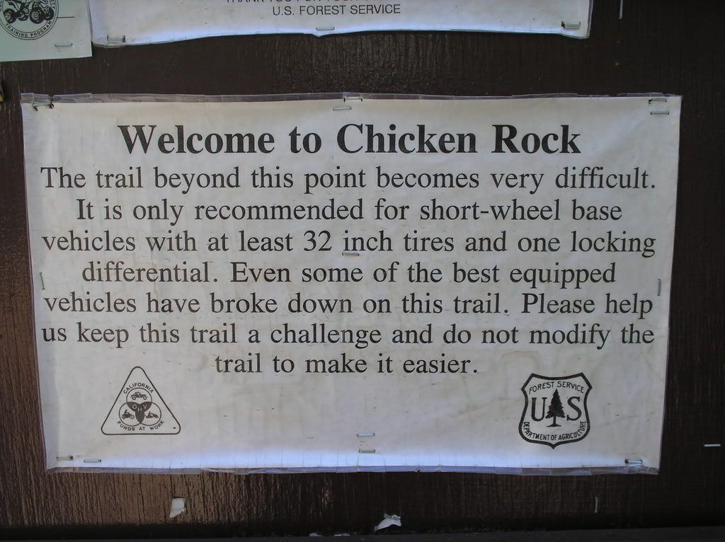
After what seemed like only 100 yards past the official gate to the trail, we came upon this...
I didn't fall (that didn't actually happen until 3.45 miles into the trail ) but I bobbled and had to go up it starting from a dead stop in the middle. My trials tire made short work of those rocks, though. While gasping for oxygen when I got to the top, I thought to myself "crap...it's...going to be...a...long day..."
The trail turned out to be everything I had hoped it would be. There were stretches of really easy 2-track that were incredibly scenic...
There were rocky sections that stretched on for what felt like forever...
More to come
(with the amount of photos one can include on a BARF post, this might be more than 3 parts...either that or a mere shell of the original report...)
Woodschick
Last edited:
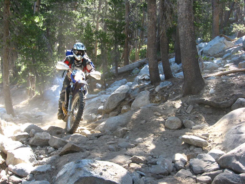






 Yeah, I was all happy about the views and stuff and then 100 yards into it I get blindsided by the reality of the trail (rocks, rocks, rocks...technical crap...ledge...rocks...pay attention...ooh! look at that pretty scener...oof...that hurt...rocks...rockpile...little roly rocks...lather, rinse, repeat) and I'm busting my butt and seeing stars due to the altitude. And I'm thinkin' to myself that maybe I got in over my head. Naaah...