Provincial_sweater09
Active member
- Joined
- Apr 8, 2026
- Moto(s)
- SV650
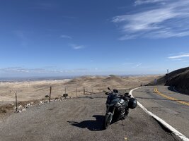
Weekend spent on 155 in kernville and Mtn Road 50. Return via Little Panoche road

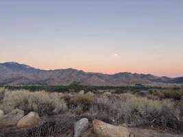

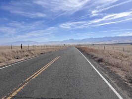
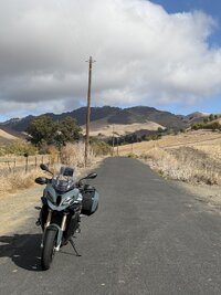
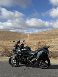
We missed each other by couple of hours! I was returning from Kernville via J1the gap in Glaucophane Ridge on Little Panoche Road (J1), San Benito County, California, 10/25/2026, 11:58 pm:
View attachment 603766
I’m riding the green bike …
(Glaucophane is a sodium-magnesium-aluminum silicate mineral belonging to the amphibole group of inosilicates, famous for giving blueschist its signature blue color, so I’m told.)

We missed each other by couple of hours! I was returning from Kernville via J1


When we went to Pillar point we rejoined 101 at Sappho. That is why I specifically remember.Sappho is on 101 north of Forks. The HWY is 113 from there up to 112.
Thought the road name deserved to be here
Photo is on the Pysht end where it meets 112


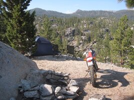
And curves and G’s.Bikes need views

That looks like a great spot!

We were camped there for almost a week. W built the fire place. A 1/2 mile down the hill was a fantastic hot spring. Mmmmmm 100,000 year old water coming up from the earth.That looks like a great spot!
Ooh! Dare I ask where?We were camped there for almost a week. W built the fire place. A 1/2 mile down the hill was a fantastic hot spring. Mmmmmm 100,000 year old water coming up from the earth.
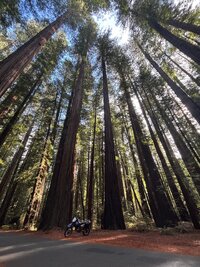


You dear lady need to let yourself get back to lovely views.