
Mellowtonin
Old Enough to Know Better
Day 7
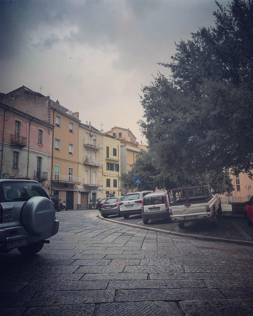
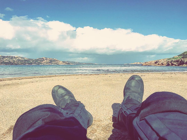
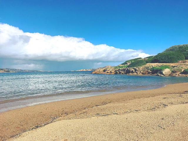
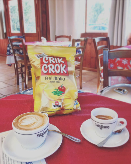
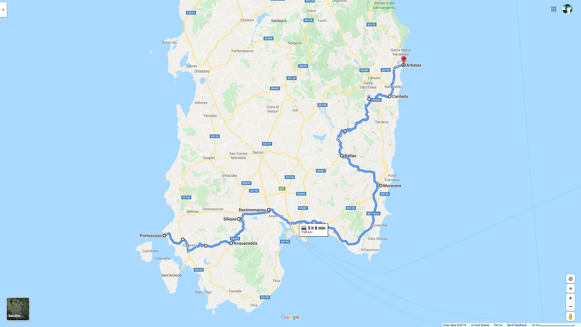
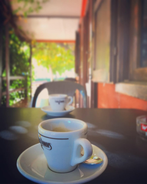
Today we started from Portoscuso on the western coast of the island, and rode all mountain roads in the south, coming close to the capital of Cagliari, where we ran into some serious Italian traffic. Upon reaching the eastern edge of Cagliari bordering Monte Cresia, we finally decided to take a 30 minute brunch break composed of espressos, potato chips, and icecream.

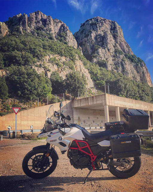
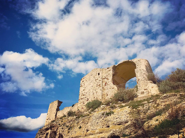
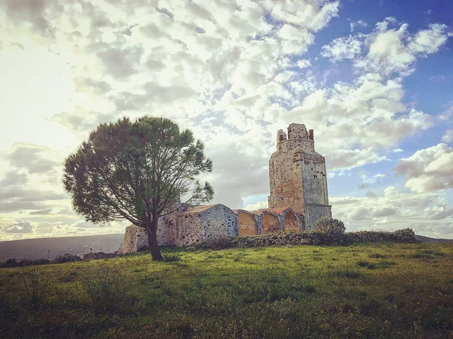
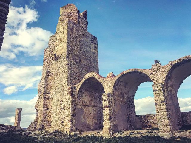
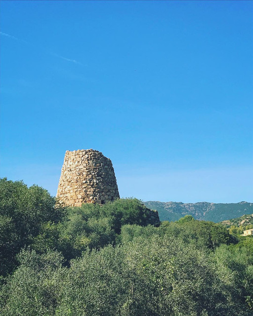
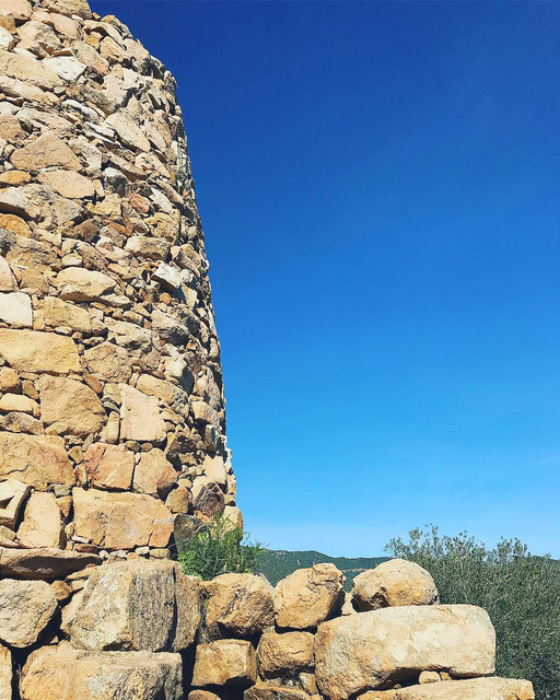
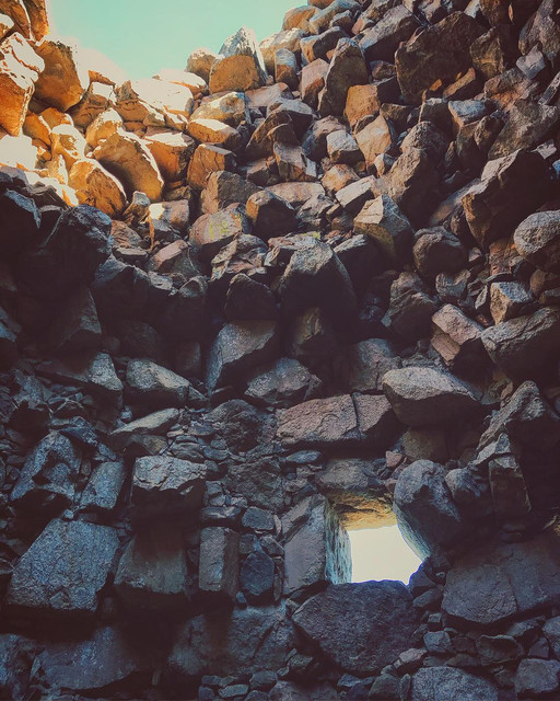
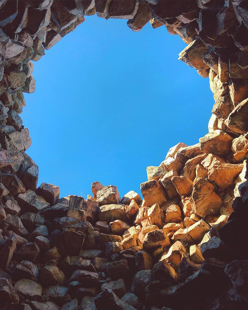
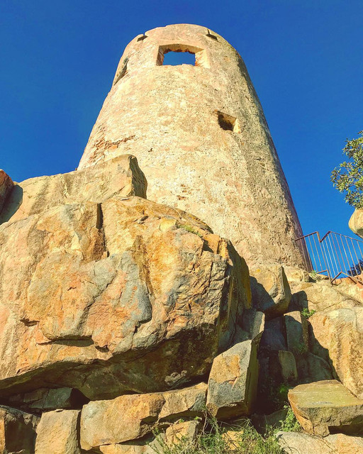
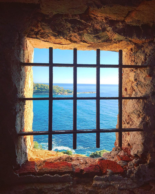
The section of Route S125 from San Gregorio to San Vito was just about perfect, perfect serpentine curves complete with drop dead gorgeous views. At San Vito, I finally had a chance to explore the famous Nuraghe ruins scattered across Sardinia up close. It’s unbelievable that these mysterious structures were first constructed during the Bronze Age!


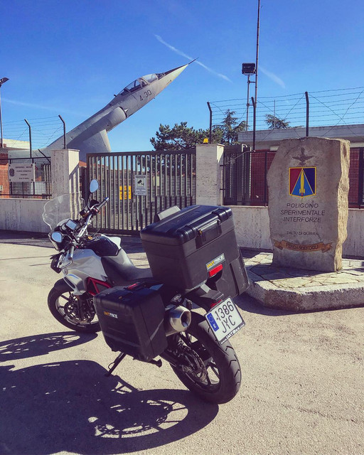
We head North then West, back to the commune of Perdasdefogu where we got lost and stopped to look for directions in front of the entrance of Salto di Quirra, a restricted weapons testing range and rocket launching site, also the largest military range in Italy for their Air Force.

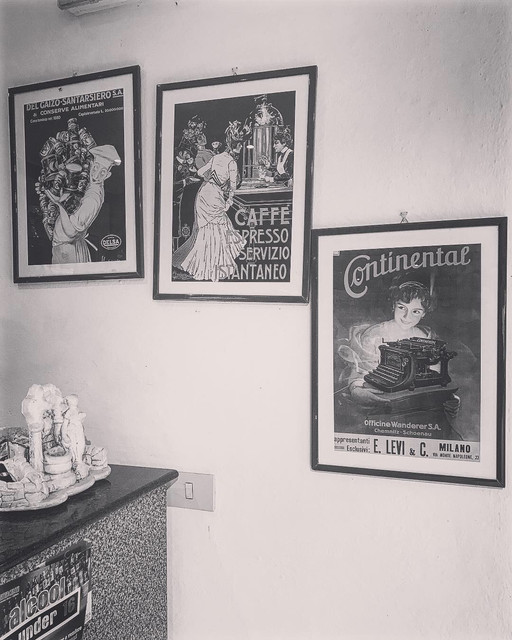
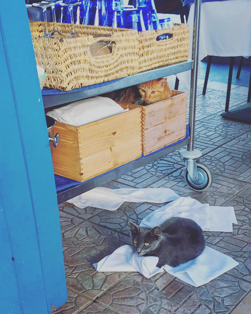
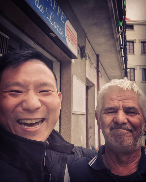
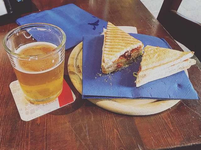
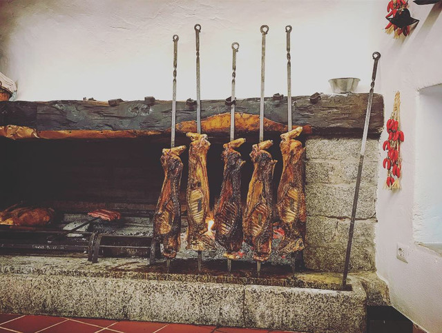
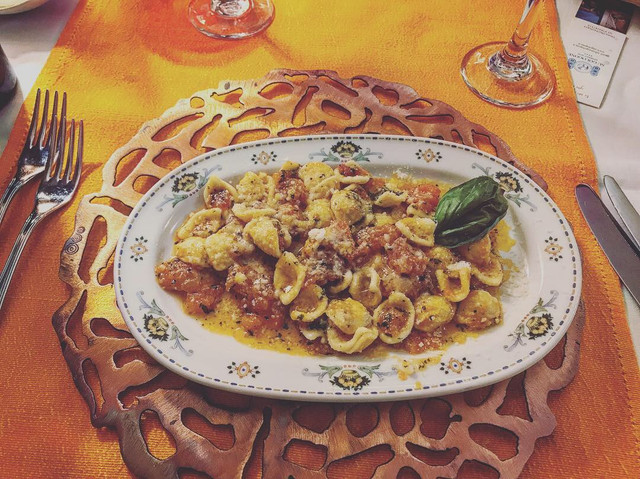
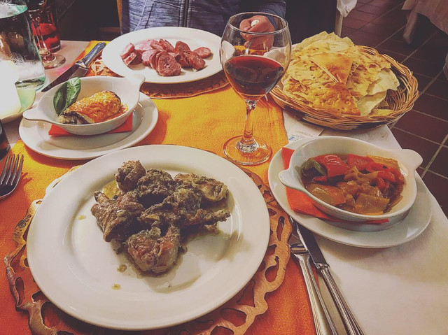
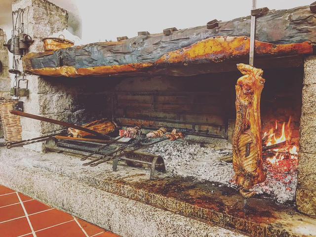
We figured it was already two hours past lunch time, might as well stop and grab a bite! The waitresses were astonished by the two Alexes, and were filled with questions on where we came from.
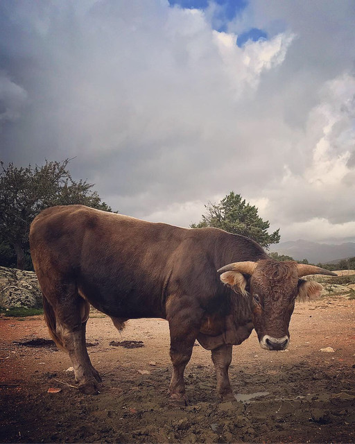
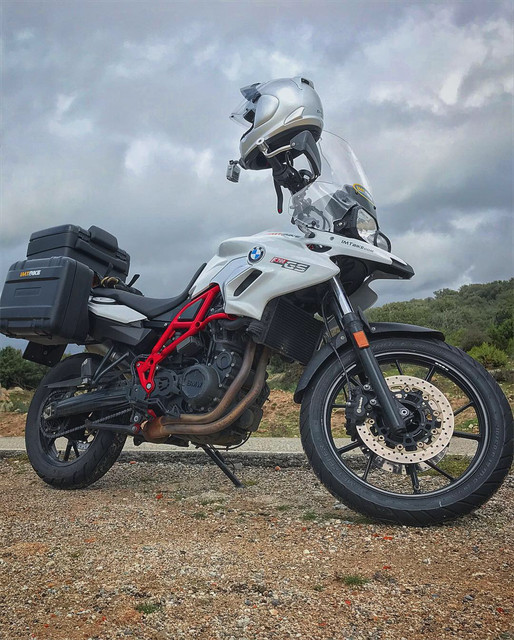
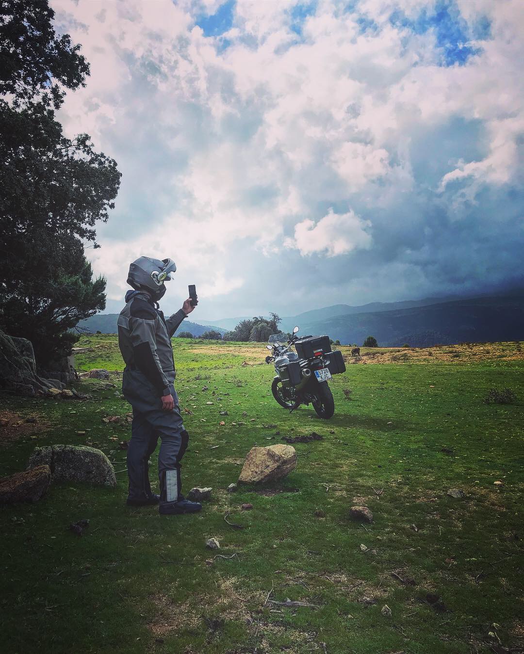
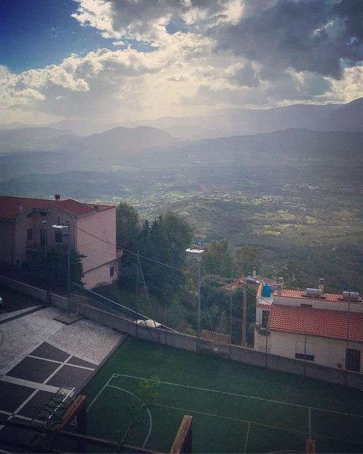
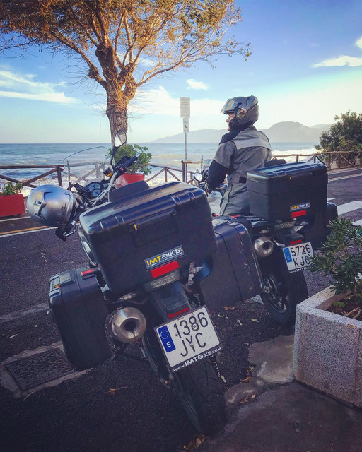
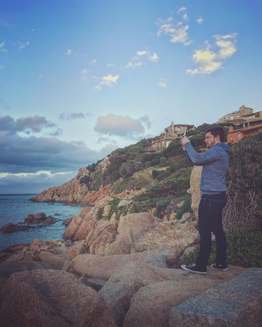
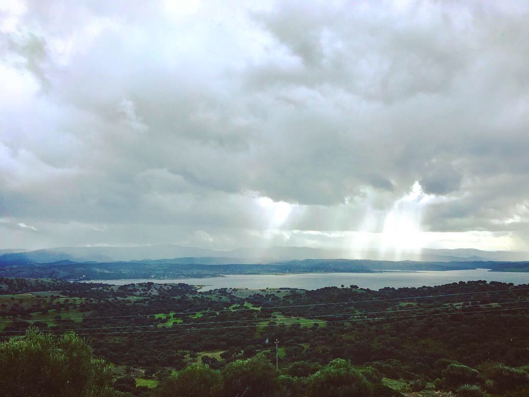
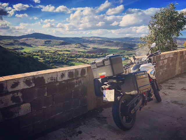
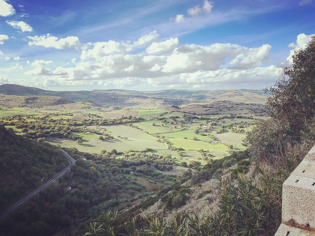
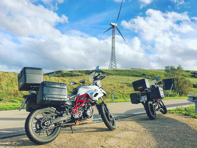
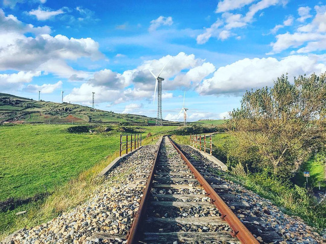
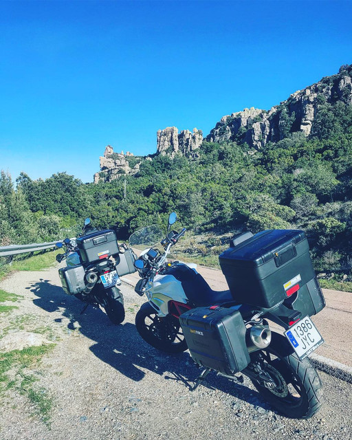
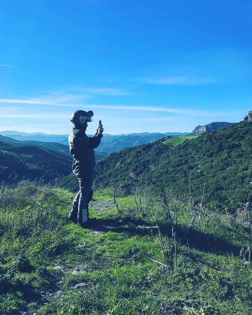
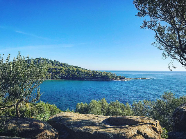
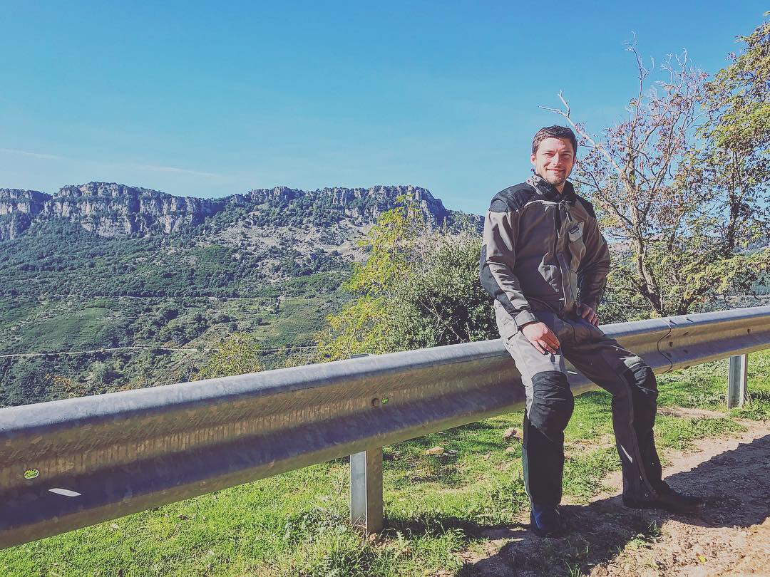
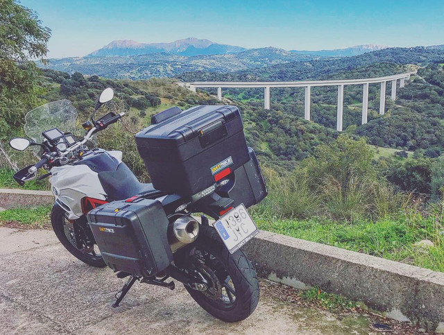
After the delicious meal, we head back North East on Route SP13 amidst lush greenery. At Jerzu atop the mountain ridge, we stopped multiple times for pictures:


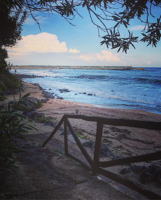
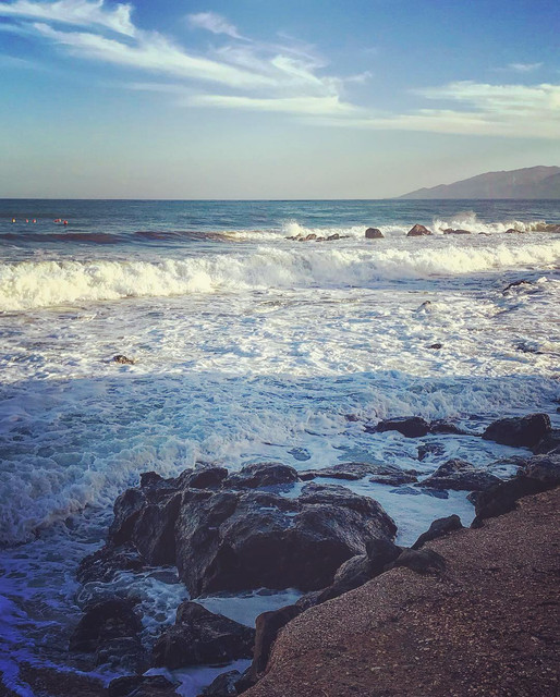
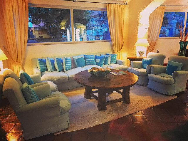
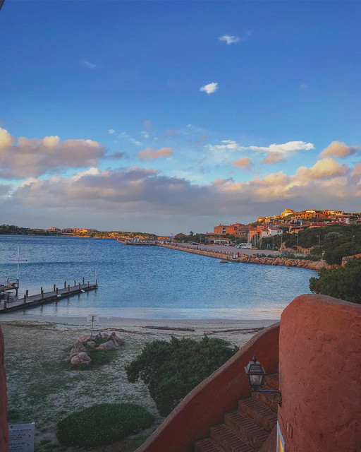
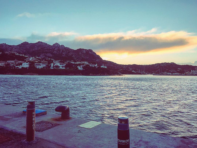
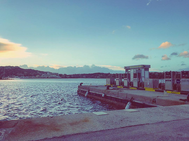
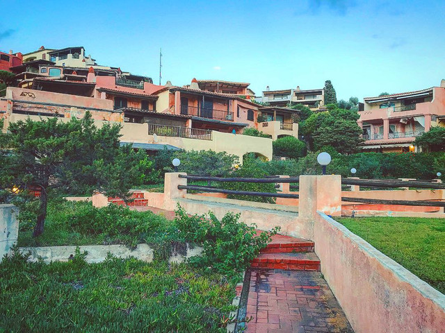
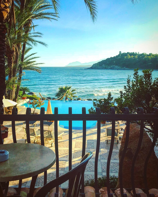
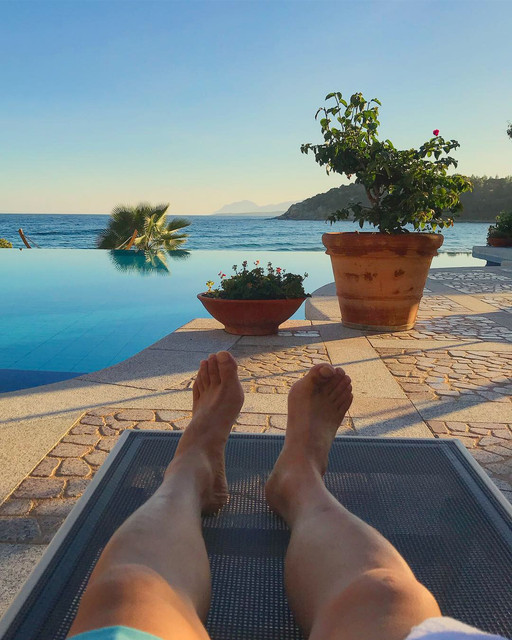
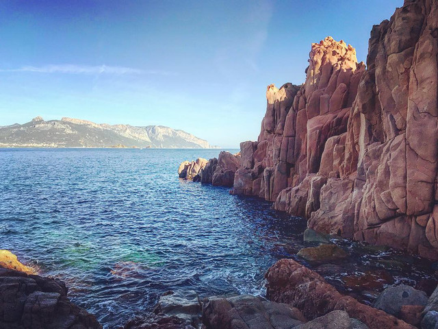
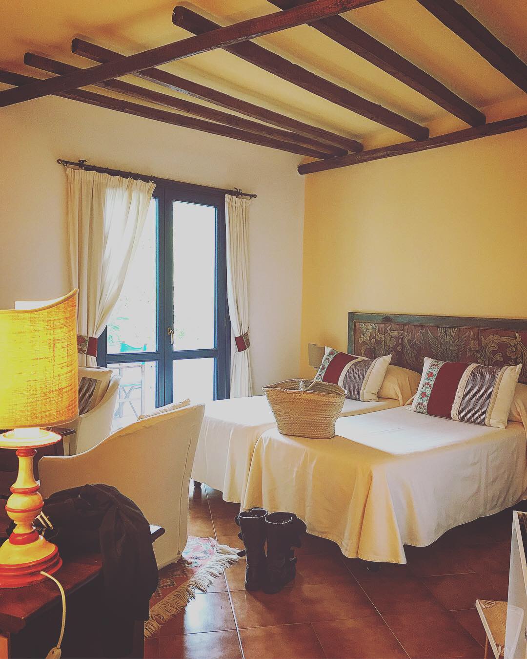
At last, an hour before sunset we reached the Tortoli on the shores of the Tyrrhenian Sea that separates Sardinia from mainland Italy. Little did I know the hotel we had at Arbatax would have the best view in house...
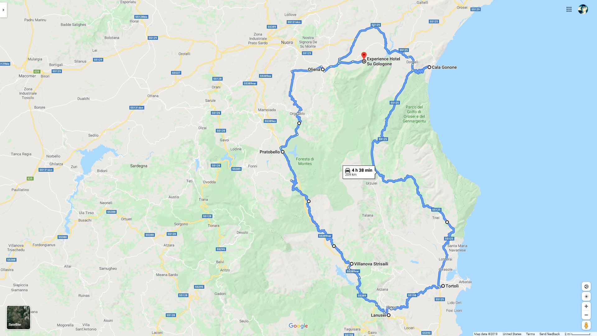
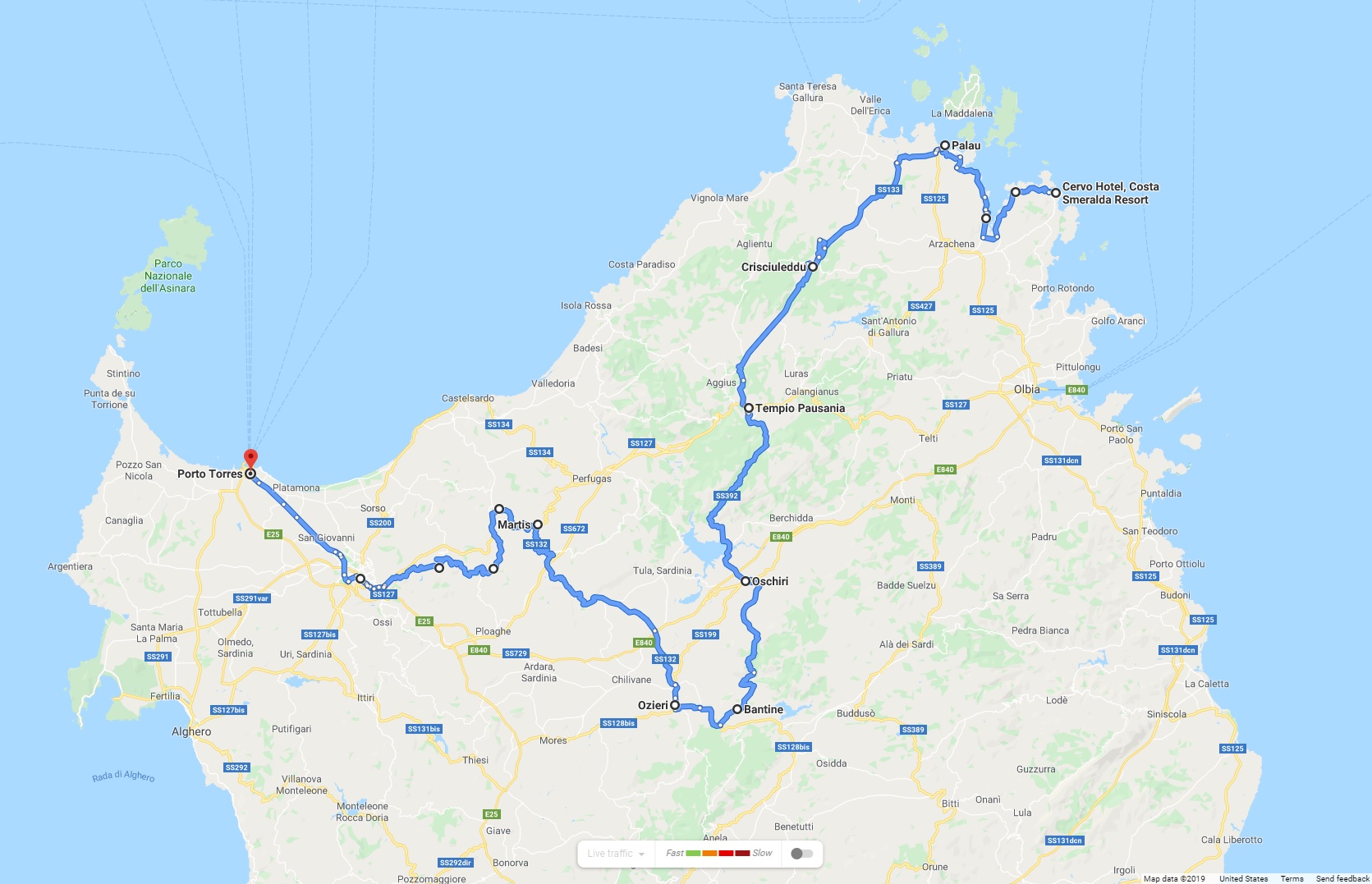
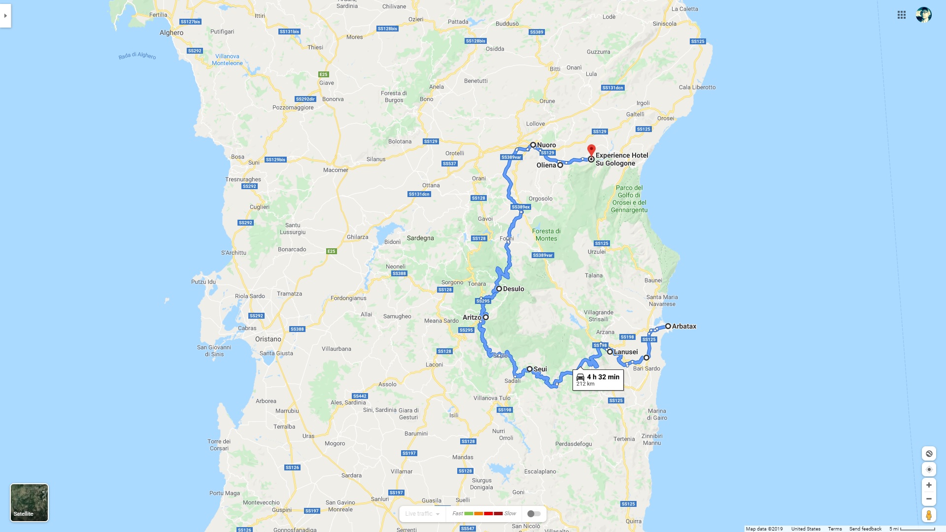
The Day's Route
Today we started from Portoscuso on the western coast of the island, and rode all mountain roads in the south, coming close to the capital of Cagliari, where we ran into some serious Italian traffic. Upon reaching the eastern edge of Cagliari bordering Monte Cresia, we finally decided to take a 30 minute brunch break composed of espressos, potato chips, and icecream.
The section of Route S125 from San Gregorio to San Vito was just about perfect, perfect serpentine curves complete with drop dead gorgeous views. At San Vito, I finally had a chance to explore the famous Nuraghe ruins scattered across Sardinia up close. It’s unbelievable that these mysterious structures were first constructed during the Bronze Age!
We head North then West, back to the commune of Perdasdefogu where we got lost and stopped to look for directions in front of the entrance of Salto di Quirra, a restricted weapons testing range and rocket launching site, also the largest military range in Italy for their Air Force.
We figured it was already two hours past lunch time, might as well stop and grab a bite! The waitresses were astonished by the two Alexes, and were filled with questions on where we came from.
After the delicious meal, we head back North East on Route SP13 amidst lush greenery. At Jerzu atop the mountain ridge, we stopped multiple times for pictures:
At last, an hour before sunset we reached the Tortoli on the shores of the Tyrrhenian Sea that separates Sardinia from mainland Italy. Little did I know the hotel we had at Arbatax would have the best view in house...
The Day's Route
Last edited:





 arty